In this article, we delve into the critical applications and advantages of drones equipped with thermal imaging cameras, showing that they are not just a drone but a revolutionary tool in various sectors.
These thermal drones capture objects’ heat emissions, facilitating precise temperature-based imagery.
This technology is incredibly valuable for a wide range of uses, including search and rescue missions as well as agricultural surveillance.
We will explore the essential features of these thermal-equipped drones and examine their influence across various sectors.
Key Takeaways
- Thermal drones leverage thermal imaging technology to capture heat signatures and provide critical thermal readings for applications like crop monitoring and building inspections in conditions where traditional cameras fall short.
- Advanced features of thermal drones, such as high-resolution thermal cameras and obstacle avoidance systems, enhance their effectiveness and safety in various operational environments.
- Thermal drones are invaluable in industries like agriculture and emergency response, enabling rapid inspections, precise monitoring, and safe reconnaissance in hazardous situations.
What is a Thermal Drone?
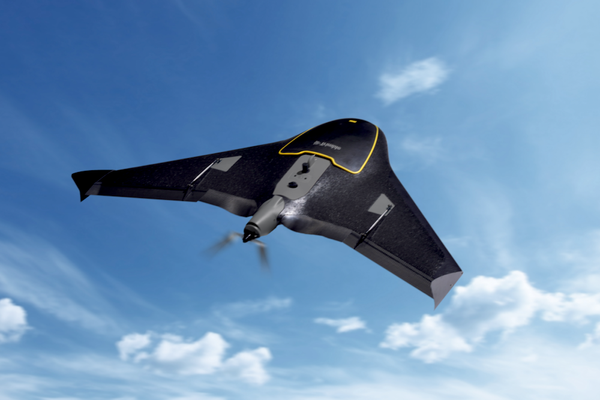
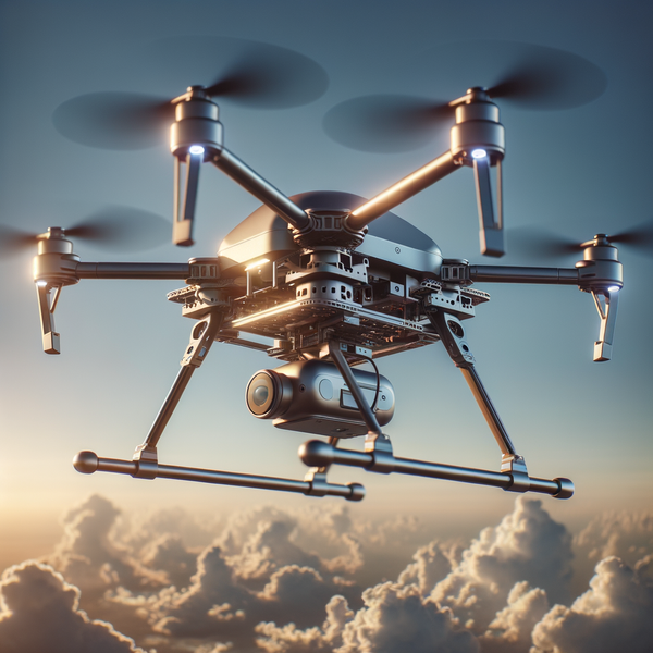
A thermal drone is an unmanned aerial vehicle (UAV) equipped with a thermal camera, which uses thermal imaging technology to detect and measure heat energy emitted by objects.
Unlike traditional drones that capture images based on visible light, thermal drones can “see” heat differences, making them invaluable in conditions where visibility is compromised, such as complete darkness, smoke, fog, or dense vegetation.
By capturing thermal images and videos, these drones provide critical insights across various applications, including environmental monitoring, public safety, and disaster response.
Thermal drones leverage advanced thermal imaging technology to create visual representations of temperature variations.
This capability allows them to detect anomalies and provide actionable data that can be used to address issues promptly.
Whether it’s identifying heat leaks in buildings, monitoring wildlife, or locating missing persons, thermal drones offer a unique perspective that traditional imaging methods cannot match.
Understanding Thermal Imaging Technology
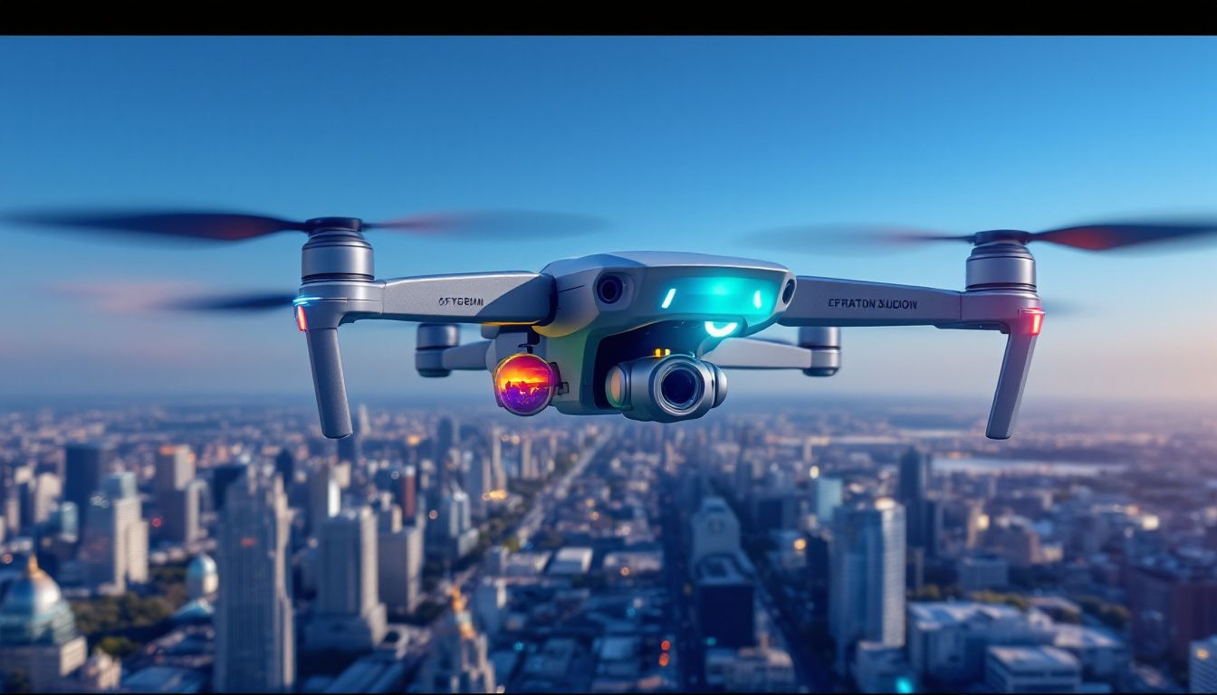
Utilizing thermal imaging technology, cameras capture the essence of an object’s heat as infrared radiation instead of relying on reflected visible light.
This enables them to render visual representations in the form of thermal images that illustrate variations in temperature across different surfaces.
Thermal imaging stands out for its proficiency under challenging circumstances where traditional optics would falter, such as complete darkness.
Drones equipped with thermal cameras can ascend and gather aerial thermographic data, providing a perspective not achievable through conventional photography or videography techniques.
These airborne platforms prove invaluable when normal visibility conditions are impaired—for example, amidst smoke or under cover of night—making useable imagery difficult to obtain otherwise.
These systems often include customizable color palettes associated with various temperature readings during area temperature measurement tasks to enhance discernment and interpretation for specific applications.
But beyond merely collecting raw thermal data lies the true purpose of thermal imaging: converting this information into actionable insights by pinpointing anomalies based on their unique heat signatures—a process invisible to standard inspections reliant solely upon visible spectrums.
In practical scenarios like identifying building insulation inefficiencies or assessing agricultural crop vitality, this capacity is pivotal for early detection and swift resolution of potential concerns.
Key Features of a Thermal Drone
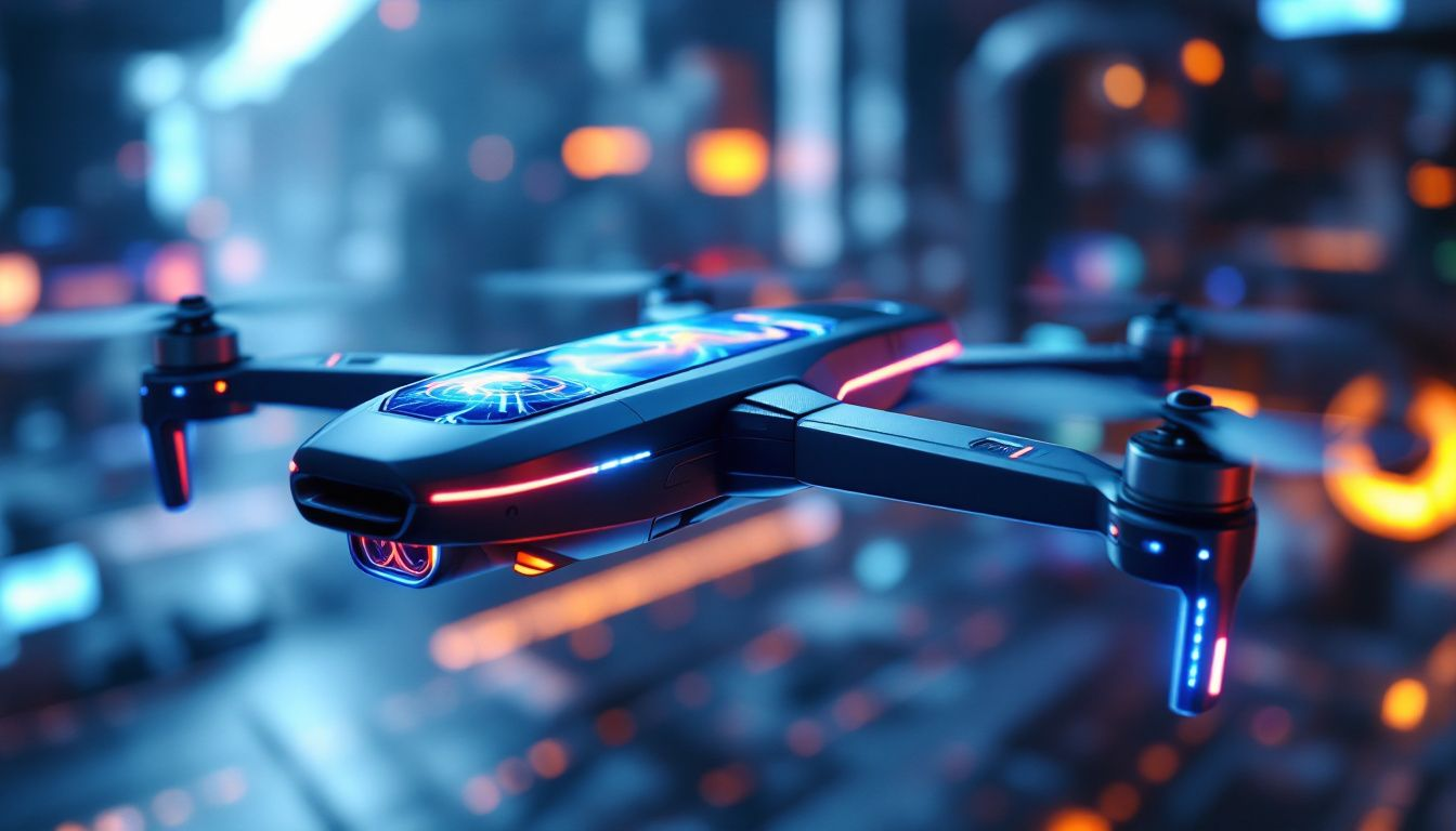
The thermal imaging prowess of the DJI Mavic 3 drone is elevated through its sophisticated thermal camera, which boasts features such as high-temperature alerts and a selection of color palettes.
The camera’s resolution at 640x512 offers in-depth thermal images, with an equivalent focal length of 40mm, that are vital for thorough evaluations, enabling it to pinpoint subtle differences in temperature that are critical across various use cases.
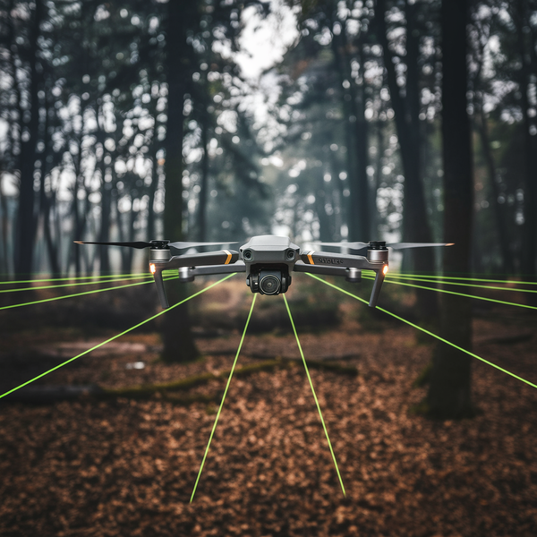
Equipped with an omnidirectional obstacle avoidance system, the Mavic 3 Thermal excels by ensuring secure navigation amidst challenging operations.
This cutting-edge technology for sensing obstacles promotes enhanced safety and allows seamless flight within intricate settings. These capabilities transform the Mavic 3 Thermal into a reliable instrument for precise and protected thermal examinations.
This drone incorporates superior hardware components like robust sensors and an RTK module to bolster precision in positioning while gathering accurate information—qualities highly sought after in industrial contexts where meticulous data is imperative.
With these advanced attributes onboard, the Mavic 3 Thermal stands out as an exceedingly competent device capable of servicing diverse industries effectively.
Applications of Thermal Drones in Industry
Drones equipped with thermal cameras have transformed the way industries conduct inspections and analysis by providing rapid, detailed results.
These drones excel in their capacity to quickly survey large expanses, which drastically cuts down on the time required for inspections when compared to conventional techniques.
They demonstrate their adaptability through a range of applications including hazardous environments, roof inspections, and precision agriculture.
For industrial uses where meticulous temperature data per pixel is paramount, selecting a camera that can capture radiometric information becomes critical.
It’s essential to evaluate the necessity for collecting such specific thermal data when choosing an appropriate thermal camera.
The flexibility and efficiency of thermal drones are showcased across diverse industry sectors, proving how indispensable they’ve become in modern practices involving thorough analyses and assessments.
Precision Agriculture
In the realm of precision agriculture, drones equipped with thermal imaging technology are instrumental in generating comprehensive thermal maps.
These maps significantly contribute to improving plant health and refining irrigation techniques by detecting subtle differences in temperature that can signal stress from pests or diseases.
Employing this tool allows farmers to intervene promptly, enhancing crop productivity while reducing potential losses.
Thermal-equipped drones have proven their worth in Californian vineyards where they’ve been pivotal for monitoring plant well-being and managing water use more effectively.
This has led to improved grape quality and quantity due to the pinpointed identification of areas experiencing water strain, which informs better irrigation tactics and resource stewardship.
Variations in thermal radiation picked up during different stages of growth help inform when crops are ready for harvest.
These advanced drones offer valuable insights into soil conditions and topographical variances by examining the heat emitted from various surfaces — indispensable information for crafting successful farming practices.
By setting specific isotherms within the drone’s system, operators can customize searches within particular temperature intervals on thermal images during flights.
Roof Inspections
Utilizing thermal drones for roof inspections allows for the pinpointing of heat loss, dampness problems, and structural evaluations.
A project in Aalborg, Denmark employed thermal imaging to survey 30 kilometers of subterranean piping over five nights.
This initiative identified maintenance requirements that bolstered their public heating networks by catching heat leaks within those pipes during winter months, consequently slashing energy expenses.
In a similar application back in 2018, DJI-branded drones were deployed to examine the Brooklyn Bridge.
These unmanned aerial vehicles brought to light structural deficiencies more quickly than conventional techniques could achieve.
Equipped with capabilities ensuring no blind spots are present and capable of rapidly covering large expanses—all while maintaining safety—thermal drones stand out as an improved method for conducting roof inspections.
Hazardous Environments
The significant advantage of thermal imaging lies in its capacity to conduct safe inspections of dangerous sites without endangering the workforce.
Utilizing thermal drones for monitoring temperature variations and identifying gas leaks within dangerous settings improves both safety measures and operational productivity, an essential aspect in sectors where protecting human lives is paramount.
Navigating intricate environments with precision, thermal drones contribute to heightened situational awareness that aligns with industry standards.
They deliver high-temperature warnings along with comprehensive thermal imagery, guaranteeing operations are maintained safely and efficiently under tough circumstances.
Environmental Monitoring
Thermal drones are widely used in environmental monitoring to detect heat anomalies, monitor temperature changes, and visualize areas invisible to the human eye. They can be used to:
- Monitor wildlife populations and habitats, providing data on animal movements and behaviors.
- Detect heat leaks in buildings and infrastructure, helping to improve energy efficiency.
- Identify areas of high energy consumption, enabling targeted interventions to reduce waste.
- Monitor water quality and detect pollution, ensuring the health of aquatic ecosystems.
- Track climate changes and weather patterns, contributing to a better understanding of environmental dynamics.
Equipped with high-resolution thermal cameras, thermal drones can provide detailed thermal imagery that enables professionals to make informed decisions and take action to mitigate environmental issues.
This technology is particularly valuable in remote or hard-to-reach areas, where traditional monitoring methods may be impractical or impossible.
Public Safety and Law Enforcement
Thermal drones are increasingly used in public safety and law enforcement applications, including:
- Search and Rescue Missions: Thermal drones can quickly locate missing persons, survivors of natural disasters, or suspects in law enforcement operations by detecting their heat signatures.
- Firefighting: Thermal drones can detect hotspots, monitor fire spread, and identify areas of high temperature, enabling firefighters to respond more effectively and safely.
- Surveillance: Thermal drones can be used for surveillance in hazardous environments, such as monitoring industrial sites, borders, or high-crime areas, providing critical information without putting personnel at risk.
Thermal drones equipped with advanced features like high-temperature alerts, area temperature measurement, and support point temperature measurement can provide critical information to first responders and law enforcement agencies.
Disaster Response and Recovery
Thermal drones play a crucial role in disaster response and recovery efforts, providing critical information to emergency responders and aid organizations.
They can be used to:
- Assess damage and identify areas of need, enabling targeted and efficient response efforts.
- Detect heat signatures of survivors or missing persons, increasing the chances of successful rescues.
- Monitor temperature changes and detect potential hazards, such as gas leaks or structural weaknesses.
- Provide real-time thermal imagery to inform response efforts, ensuring that resources are allocated effectively.
Thermal drones equipped with thermal cameras and advanced features like precision agriculture can help responders prioritize efforts and allocate resources more effectively.
By providing a comprehensive view of the disaster area, thermal drones enable quicker and more informed decision-making, ultimately saving lives and reducing the impact of disasters.
Enhancing Search and Rescue Missions with Thermal Drones
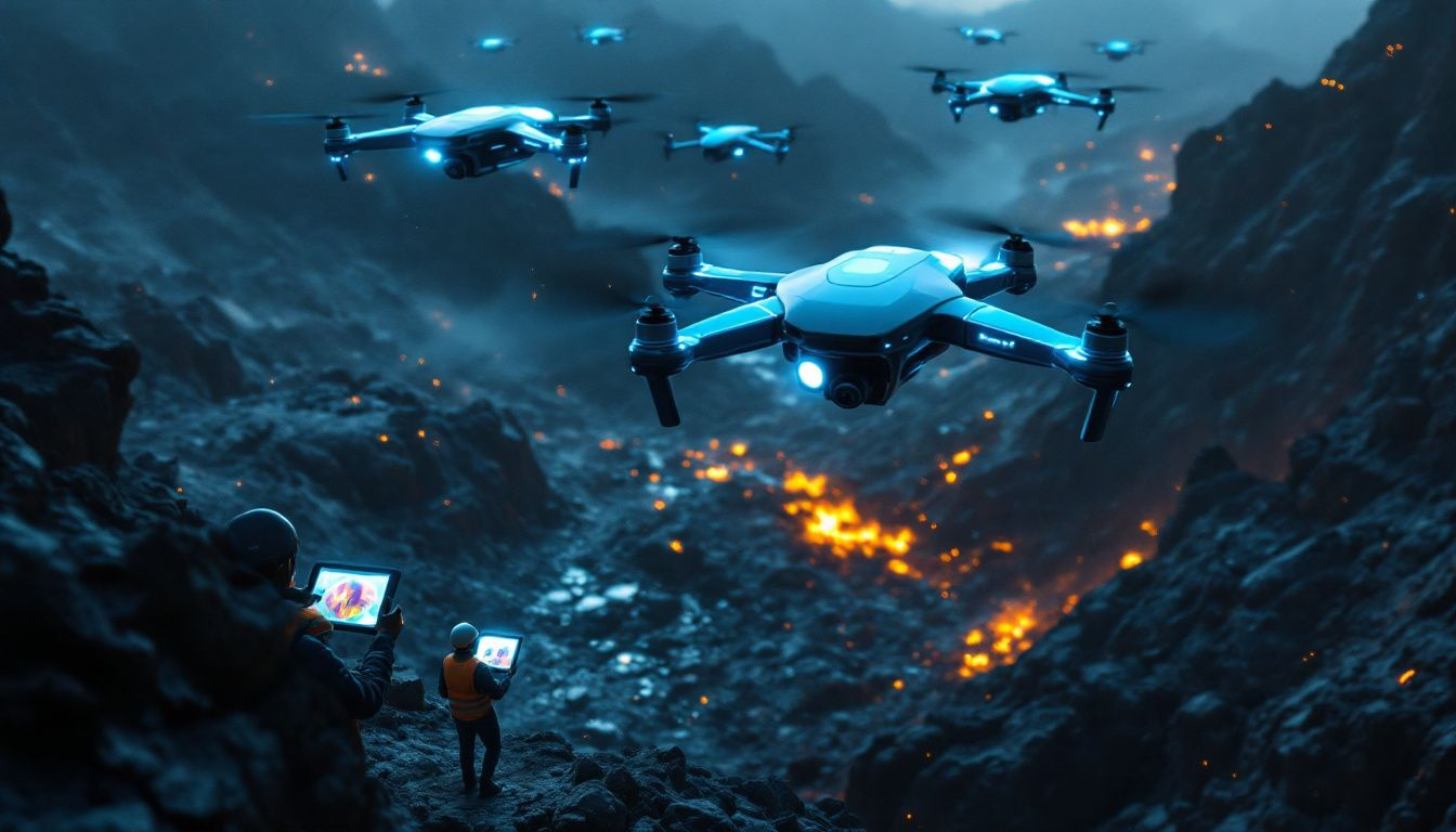
Thermal drones serve a vital role in search and rescue operations, offering real-time overhead surveillance capabilities that expedite the detection of those missing or trapped during disasters.
Notably following Hurricane Harvey in 2017, these thermal-equipped drones were pivotal for identifying individuals cut off by extensive flooding through their unique heat signatures — an invaluable asset when every moment is critical.
A notable example occurred in 2019 within the treacherous terrain of the French Alps where thermal drone technology was key to discovering climbers lost amidst challenging visibility.
The integration of GPS tagging systems allows for accurate pinpointing of persons requiring aid, circumventing reliance on conventional communication methods while AI enhancements improve the efficacy and coverage area of automated searches conducted by drones.
Deploying thermal drones contributes significantly to rescuer safety.
They facilitate remote inspection across dangerous zones such as inundated regions or demolished structures with minimal risk to rescue teams.
Thermal Imaging in Action
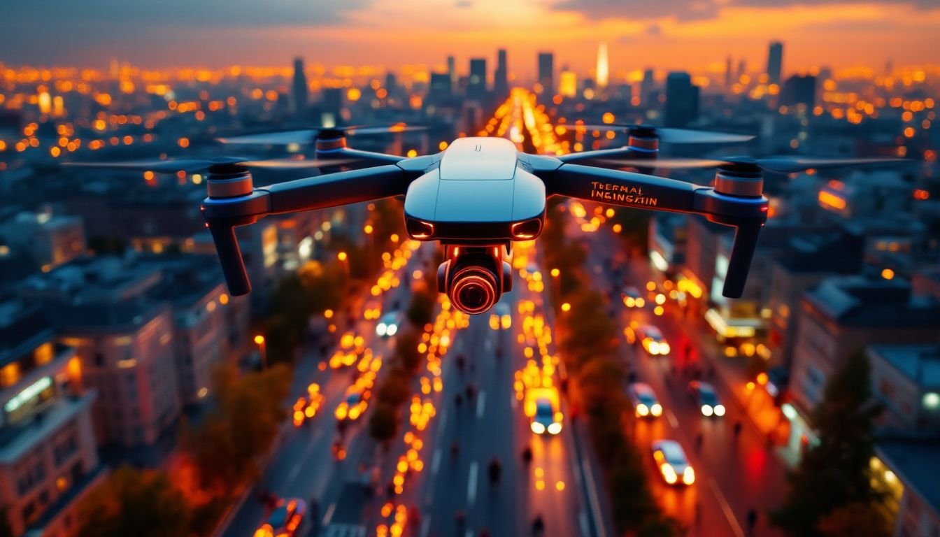
The utilization of thermal drones has proven highly effective in multiple industries.
Thermal drones have the capability to swiftly identify areas where heat is being lost on building rooftops, enabling prompt repair actions to be taken before complications arise.
The data captured by these drone flights include thousands of images and comprehensive mapping details that assist authorities in identifying specific maintenance requirements.
Zipline’s use of drones serves as another impressive example, revolutionizing the delivery of medical supplies in Rwanda by expediting their transportation to isolated regions.
What once took hours can now be achieved within minutes.
These instances underscore how critical thermal drones are for boosting efficiency and efficacy across various sectors such as maintenance and healthcare.
Optimizing Mission Planning with Thermal Drones
Automated altitude modification tailored to different terrains elevates the capabilities of mission planning using drones with thermal imaging.
The Corridor Mission Planning feature allows these drones to execute automated missions across linear environments such as roads and waterways, ensuring a uniform overlap of images that enhances the stitching process for thermal image analysis post-flight.
The capability for live recording of missions on advanced thermal-equipped drones facilitates capturing flight maneuvers, enabling future flights to be automated based on past actions.
High-resolution thermographic sensors installed in these drones are adept at pinpointing issues like poor insulation and hidden leaks that conventional visual inspections might not reveal.
Such functionalities render thermal-imaging drones invaluable tools in enhancing the efficiency and precision of planning and conducting various inspection-related missions.
Integrating Thermal Drones with Third Party Cloud Platforms
Integrating thermal drones with third-party cloud platforms enhances data management and real-time analytics crucial for operations.
MQTT-based protocols facilitate seamless data exchange, ensuring efficient integration.
The Payload SDK (PSDK) enhances drone capabilities by connecting with third-party hardware solutions.
Platforms like AirData improve flight data management while ensuring compliance and operational efficiency.
The integration process emphasizes data security by enabling the offline export of sensitive flight logs.
Ensuring Data Security with Thermal Drones
It is crucial to prioritize data security when employing thermal drones.
These drones are capable of using AES-256 encryption, which stands as one of the most solid encryption standards for safeguarding video transmission.
The cloud API designed for thermal drones enables them to safely interact with third-party services while minimizing the need for extensive modifications.
With a simple command, these thermal drones have the capability to delete all produced data swiftly, thus efficiently eliminating any sensitive information from storage.
DJI’s commitment to the secure handling of data has been corroborated through independent evaluations that affirm its robust data protection protocols.
The incorporation of such features plays an essential role in maintaining confidentiality and assuring that sensitive information remains protected when utilizing thermal drone technology along with cloud capabilities.
Safety Features of Thermal Drones
Thermal drones are designed with safety features to ensure safe and efficient operation. Some of these features include:
- Obstacle Avoidance Systems: Thermal drones are equipped with sensors and cameras that detect obstacles and avoid collisions, ensuring safe navigation even in complex environments.
- Ground Control Points: Thermal drones can be programmed to follow predetermined flight paths and avoid restricted areas, enhancing operational safety and compliance.
- Weather Resistance: Thermal drones are designed to operate in various weather conditions, including rain, snow, and extreme temperatures, ensuring reliability in diverse environments.
- Redundant Systems: Thermal drones often have redundant systems, such as dual batteries and propulsion systems, to ensure continued operation in case of component failure, enhancing mission reliability.
- Secure Data Transmission: Thermal drones use secure data transmission protocols to protect sensitive information and prevent unauthorized access, ensuring data integrity and confidentiality.
When choosing a thermal drone, it’s essential to consider the safety features and ensure that the drone is designed for your specific application and environment.
Abundant Accessories for Enhanced Performance
Drones equipped with thermal capabilities are often accompanied by supplementary accessories that boost their effectiveness.
For example, the inclusion of RTK modules can refine the accuracy of a drone’s positioning to an impressive centimeter-level precision, thereby enabling enhanced operational performance.
The ability to annotate and comment on thermal images in real-time is also available, which elevates mission documentation and team collaboration.
Incorporating extra sensors such as gas detectors and LiDAR into these drones expands their functional scope significantly.
These enhancements substantially improve mission effectiveness by delivering precise location data, facilitating instantaneous teamwork among users, and extending the potential uses of thermal drones.
Choosing the Right Thermal Drone for Your Needs
Selecting the appropriate thermal drone is contingent on individual requirements and financial constraints.
The cost of thermal imaging cameras can vary significantly, with prices spanning from several thousand dollars to in excess of a hundred thousand dollars, reflective of their varying functionalities and technical specifications.
By combining these drones with cloud-based services, efficiency in workflows is enhanced, which assists in monitoring pilot performance and managing multiple drones.
Ensuring that you align the features and add-ons with your specific needs is crucial when making an educated choice.
Summary
Utilizing thermal imaging technology, thermal drones have become instrumental in revolutionizing sectors by elevating both their efficiency and efficacy. These drones excel particularly in precision agriculture as well as search and rescue operations, offering critical perspectives that only advanced thermal imaging can provide.
By understanding the essential characteristics, uses, and protocols for safeguarding data associated with these devices, individuals are able to fully exploit the advantages of thermal drones tailored to their distinct requirements.
Frequently Asked Questions
How do thermal drones work?
Thermal drones operate by utilizing thermal cameras to detect and visualize heat signatures, enabling precise temperature analysis.
This technology allows users to identify temperature variations in various environments.
Do thermal drones work during the day?
Yes, thermal drones can operate during the day. They use thermal imaging cameras that detect infrared radiation, allowing them to identify heat differences in their surroundings regardless of the light conditions. However, their effectiveness may be somewhat limited by ambient heat from the sun and environmental factors, which can reduce the contrast between objects. Despite these potential limitations, thermal drones are used in various applications such as agriculture and search and rescue during daylight hours, so they are indeed functional and valuable even when the sun is shining.
How far can a thermal drone see?
The effective range of thermal drones can vary widely depending on several factors, including the specifications of the thermal camera used, environmental conditions, and the thermal signatures being detected. Generally, consumer-grade thermal cameras can detect heat signatures from distances of about 300 to 1,500 meters (approximately 1,000 to 5,000 feet). In optimal conditions, high-end thermal systems, such as those used in military applications, could potentially detect targets at several kilometers. Weather conditions and the contrast between the heat source and its surroundings greatly influence how far a thermal drone can effectively "see."
What industries benefit the most from thermal drones?
The agriculture, construction, public safety, and energy industries benefit significantly from thermal drones due to their ability to provide critical thermal imaging and monitoring capabilities.
These advantages enhance operational efficiency and safety across these sectors.
How do thermal drones assist in search and rescue missions?
Thermal drones significantly enhance search and rescue missions by offering real-time aerial reconnaissance and detecting heat signatures, enabling effective operations even in low visibility. Their GPS tagging capabilities allow for precise location tracking, improving the chances of successful rescues.
What are the key features to look for in a thermal drone?
Key features to look for in a thermal drone include high-resolution thermal cameras, obstacle avoidance systems, RTK modules for precise positioning, and robust data security measures. These elements ensure effective performance and reliability in various applications.
How can I ensure the data security of my thermal drone operations?
To ensure the data security of your thermal drone operations, utilize drones equipped with AES-256 encryption and secure data transmission protocols, along with features for rapid data erasure and offline operation. Implementing these measures will significantly enhance the security of your data.


