Key Takeaways:
- LiDAR drones revolutionize data collection with unmatched precision and efficiency.
- They offer diverse applications, from urban planning to environmental conservation.
- Integration of LiDAR technology in drones enhances traditional surveying methods.
Introduction to LiDAR Technology
LiDAR, an acronym for Light Detection and Ranging, is a cutting-edge technology that measures distances using laser pulses.
This technology has transformed how we perceive and interact with our environment.
By emitting laser beams and analyzing the reflected pulses, LiDAR systems create highly accurate 3D models of the surroundings.
This precision makes LiDAR indispensable in various fields, from urban planning to environmental monitoring.
The integration of such technology into drones has further expanded its potential.
LiDAR-equipped drones, or drone LiDAR, offer a new dimension to aerial data collection.
These uncrewed aerial vehicles (UAVs) can capture detailed maps and point cloud data with remarkable accuracy.
This capability is particularly beneficial in challenging environments where traditional surveying methods fall short.
The Evolution of LiDAR Drones
LiDAR drones have come a long way since their inception.
Initially, LiDAR systems were bulky and expensive, limiting their use to specialized applications.
However, advancements in technology have led to the development of compact and affordable LiDAR sensors.
This evolution has made LiDAR drones accessible to a broader audience, enabling users to harness their potential in various applications.
The integration of LiDAR technology into drones has revolutionized industries such as land surveying, forestry, and infrastructure development.
These drones can efficiently cover large areas, providing high-quality data that informs decision-making processes.
As a result, LiDAR drones have become an essential tool for professionals seeking more than just traditional surveying methods.
How LiDAR Drones Work
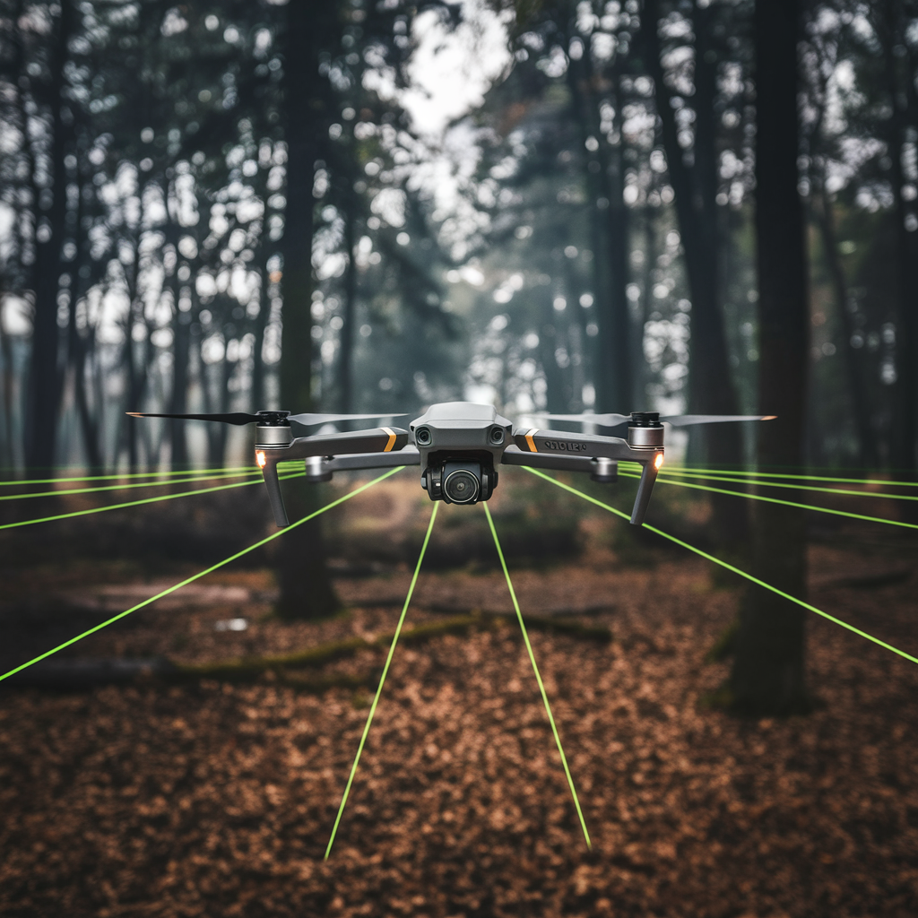
LiDAR drones operate by emitting laser pulses towards the ground.
These pulses bounce off surfaces and return to the drone, where sensors measure the time taken for the light to return.
This data is then processed to create detailed 3D models of the terrain.
The ability of LiDAR drones to penetrate vegetation and capture data in hard-to-reach areas is one of their most significant advantages.
This capability is particularly useful in forest management and conservation efforts, where understanding tree cover and forest health is crucial.
By providing precise data, LiDAR drones enable users to make informed decisions about land use and resource management.
The Efficiency and Accuracy of LiDAR Drones
LiDAR drones offer unmatched efficiency and accuracy in data collection.
These drones can cover large areas quickly and efficiently, providing high-quality data that informs decision-making processes.
This capability is particularly beneficial in challenging environments, where traditional methods may be limited or impractical.
In addition to efficiency, LiDAR drones also offer unparalleled accuracy.
The precision of such technology allows for the creation of highly accurate maps and 3D models, even in dense vegetation or urban landscapes.
This accuracy is crucial for ensuring the success of projects in various fields, from urban planning to environmental monitoring.
The Importance of Specialized Software in LiDAR Drone Operations
Specialized software is essential for the successful operation of LiDAR drones.
This software processes the data collected by the drones, creating detailed maps and 3D models.
It also enables users to analyze and interpret the data, providing insights into various applications, from urban planning to environmental monitoring.
This software must be regularly updated and maintained to keep pace with advancements in technology and applications.
Identifying Potential Hazards
LiDAR drones play a crucial role in identifying potential hazards in various environments.
These drones can capture detailed maps and 3D models, providing insights into potential risks and challenges.
This information is crucial for ensuring public safety and maintaining the integrity of infrastructure and natural resources.
By analyzing point cloud data, LiDAR drones can detect issues such as unstable ground, hidden obstacles, and structural weaknesses.
This capability is particularly valuable in urban environments, where space is limited, and safety is a top priority.
By providing accurate data, LiDAR drones enable authorities to address issues before they become significant problems.
Conservation Efforts
LiDAR drones have made a significant impact on conservation efforts.
These drones can collect high-resolution data on ecosystems and biodiversity, providing insights into environmental changes and trends.
This data is crucial for crafting effective conservation strategies and observing the effects of climate change on natural resources.
LiDAR drones are particularly effective in monitoring dense vegetation and challenging environments.
Their ability to penetrate foliage and capture precise data makes them invaluable for studying ecosystems and biodiversity.
By providing accurate data, LiDAR drones enable researchers to make informed decisions about conservation strategies and resource management.
Urban Planning
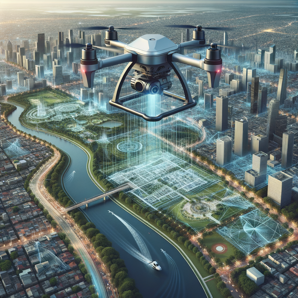
Urban planning is one of the many fields that have benefited from the integration of LiDAR technology in drones.
LiDAR drones can capture high-resolution data of urban landscapes, providing planners with the information needed to design efficient and sustainable cities.
This data can be used to create detailed maps and 3D models, aiding in infrastructure development and disaster management.
In addition to mapping, LiDAR drones can identify potential hazards in urban areas.
By analyzing point cloud data, planners can assess the condition of power lines, buildings, and other infrastructure.
This information is crucial for ensuring public safety and maintaining the integrity of urban environments.
As cities continue to grow, the role of LiDAR drones in urban planning will only become more significant.
Environmental Monitoring
Environmental monitoring is another area where LiDAR drones have made a significant impact.
These drones can collect aerial data over large areas, providing insights into environmental changes and trends.
This information is vital for conservation efforts, as it helps track changes in forest health, water bodies, and other natural resources.
LiDAR drones are particularly effective in monitoring dense vegetation and challenging environments.
Their ability to penetrate foliage and capture precise data makes them invaluable for studying ecosystems and biodiversity.
Forest Management
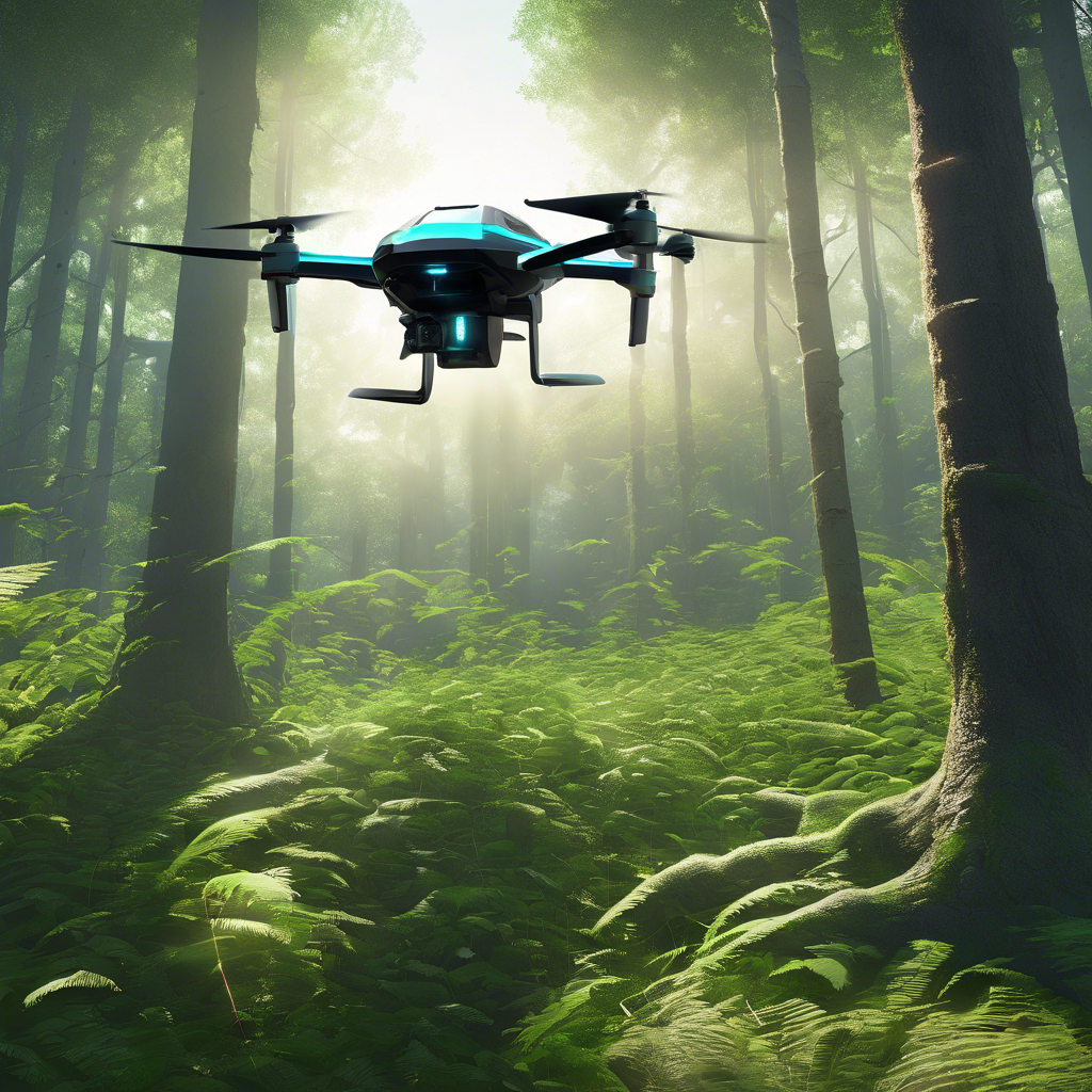
Forest management is a critical application of LiDAR drones.
These drones can assess tree cover, measure forest density, and monitor changes in forest health.
This information is essential for managing forests sustainably and ensuring their long-term viability.
They provide forest managers with the data needed to make informed decisions about logging, reforestation, and conservation efforts.
In addition to monitoring forest health, LiDAR drones can also track changes in forest structure over time.
This capability is crucial for understanding the impacts of climate change and human activities on forest ecosystems.
By providing detailed and accurate data, LiDAR drones enable forest managers to develop effective strategies for preserving and restoring forest landscapes.
Precision Agriculture
These drones can collect high-resolution data on crop health, soil conditions, and field topography.
This information is invaluable for farmers seeking to optimize their operations and increase crop yields.
By providing precise data, LiDAR drones enable farmers to make informed decisions about planting, irrigation, and fertilization.
LiDAR drones are particularly useful in identifying potential hazards in agricultural fields.
By analyzing point cloud data, farmers can detect issues such as pest infestations, water stress, and nutrient deficiencies.
This information allows for targeted interventions, reducing the need for widespread chemical applications and promoting sustainable farming practices.
Infrastructure Development
These drones can capture detailed maps and 3D models of construction sites, providing engineers with the information needed to design and build efficiently.
This data is crucial for ensuring the safety and stability of structures, as well as for planning future developments.
LiDAR drones can also identify potential hazards in construction areas, such as unstable ground or hidden obstacles.
By providing accurate data, these drones enable engineers to address issues before they become significant problems.
This capability is particularly valuable in urban environments, where space is limited, and construction projects must be carefully planned and executed.
Disaster Management
These drones can quickly assess damage and identify potential hazards in disaster-stricken areas.
This information is crucial for coordinating emergency response efforts and ensuring public safety.
In addition to assessing damage, LiDAR drones can also track changes in the environment over time.
This capability is essential for understanding the long-term impacts of disasters and developing strategies for mitigation and adaptation.
By providing accurate and timely data, LiDAR drones play a vital role in enhancing disaster management efforts.
Public Safety
Public safety is another area where LiDAR drones have made a significant impact.
These drones can capture detailed maps and 3D models of urban areas, providing law enforcement and emergency services with the information needed to respond effectively to incidents.
This data is crucial for ensuring the safety and security of communities.
LiDAR drones can also identify potential hazards in public spaces, such as unstable structures or hidden obstacles.
By providing accurate data, these drones enable authorities to address issues before they become significant problems.
Advantages of LiDAR Drones Over Traditional Surveying Methods
LiDAR drones offer several advantages over traditional surveying methods.
These drones can cover large areas quickly and efficiently, providing high-quality data that informs decision-making processes.
This capability is particularly beneficial in challenging environments, where traditional methods may be limited or impractical.
In addition to efficiency, such drones also offer unparalleled accuracy.
The precision of LiDAR technology allows for the creation of highly accurate maps and 3D models, even in dense vegetation or urban landscapes.
The Challenges of Using LiDAR Drones
Despite their many advantages, such drones also face several challenges.
One of the main challenges is the integration of LiDAR technology into drones.
This process requires specialized software and expertise, which can be costly and time-consuming.
Additionally, they require regular maintenance and calibration to ensure their accuracy and reliability.
Another challenge is their payload capacity.
These drones must be able to carry the necessary equipment and sensors, which can be heavy and bulky.
This limitation can restrict the range and duration of drone operations, particularly in hard-to-reach areas.
However, advancements in drone technology continue to address these challenges, making LiDAR drones more accessible and efficient.
The Future of LiDAR Drones
The future of LiDAR drones looks promising, with continued advancements in technology and applications.
As LiDAR sensors become more compact and affordable, the use of LiDAR drones is expected to increase across various fields.
This growth will be driven by the demand for accurate and efficient data collection, as well as the need for innovative solutions to complex challenges.
In addition to technological advancements, the future of LiDAR drones will also be shaped by regulatory developments.
As drone operations become more widespread, governments and organizations will need to establish guidelines and standards to ensure their safe and responsible use.
Summary
LiDAR drones have revolutionized data collection and analysis, offering unparalleled accuracy and efficiency. These drones have found applications in various fields, from urban planning to environmental monitoring, providing high-quality data that inform decision-making processes.
Despite the challenges they face, LiDAR drones continue to advance, driven by technological innovations and regulatory developments. As the demand for accurate and efficient data collection grows, LiDAR drones will play an increasingly important role in shaping the future of various industries.
FAQ
What is a LiDAR drone?
A LiDAR drone is an unmanned aerial vehicle (UAV) equipped with LiDAR (Light Detection and Ranging) technology. LiDAR uses pulsed laser light to measure distances to the Earth's surface, creating detailed and accurate three-dimensional maps and models. When mounted on a drone, LiDAR technology allows for the efficient and precise collection of topographic data over large or difficult-to-access areas. LiDAR drones are widely used in various industries, including agriculture, forestry, archaeology, construction, and environmental monitoring. They offer several advantages, such as the ability to quickly cover extensive areas, access remote or hazardous locations, and generate high-resolution 3D models. This makes LiDAR drones a valuable tool for applications requiring detailed spatial data and terrain analysis.
Is LiDAR better than radar?
Neither LiDAR nor radar is universally "better" than the other. The choice between the two depends on the specific application and requirements, for example, choose LiDAR for high-resolution 3D mapping and detailed terrain analysis. Alternatively, choose Radar for long-range detection and operation in adverse weather conditions. Each technology has its strengths, and the best choice will depend on the particular needs of the task at hand.
Does LiDAR bounce off water?
Yes, LiDAR can bounce off water, but the interaction depends on the condition of the water surface. In practical applications, LiDAR is used to map water bodies, measure water levels, and study coastal areas. The ability to detect and measure water surfaces is crucial for these tasks, although the quality of the data can vary depending on the condition of the water surface.
What can LiDAR not detect?
LiDAR is a powerful technology for many applications, but it has certain limitations and cannot detect everything such as transparent or translucent materials, non-reflective surfaces that absorb light, small or thin objects, obstructed areas, adverse weather conditions, depth in water and certain biological materials.
Does LiDAR work in heavy rain?
While LiDAR can still function in light to moderate rain, heavy rain can significantly degrade its performance. The extent of this degradation depends on the intensity of the rain and the specific LiDAR system being used. In applications where heavy rain is common, such as certain outdoor environments, the limitations of LiDAR in such conditions need to be considered.
Can LiDAR see through walls?
Unlike technologies such as radar or X-ray, which can penetrate certain materials to some extent, LiDAR is not designed to see through solid objects. LiDAR is effective for mapping and measuring surfaces but cannot provide information about what lies behind solid barriers like walls.
What are the main applications of LiDAR drones?
LiDAR drones are used in a wide range of applications, including urban planning, environmental monitoring, forest management, precision agriculture, infrastructure development, and disaster management. They provide high-resolution data and detailed maps, enabling users to make informed decisions and optimize their operations.
What are the challenges of using LiDAR drones?
Some challenges of using LiDAR drones include integrating LiDAR technology into drones, which requires specialized software and expertise, and the drones' payload capacity, which can limit their range and duration. Additionally, LiDAR drones require regular maintenance and calibration to ensure their accuracy and reliability.

RELATED ARTICLES:
